Andebit et beaqui corendit, ut quostes esciendion re dit ad et prae parion es quia quas alibus sam, omnim faciden ducipidiat arum autem nobis enis es voat

Rocky Ledges Trail
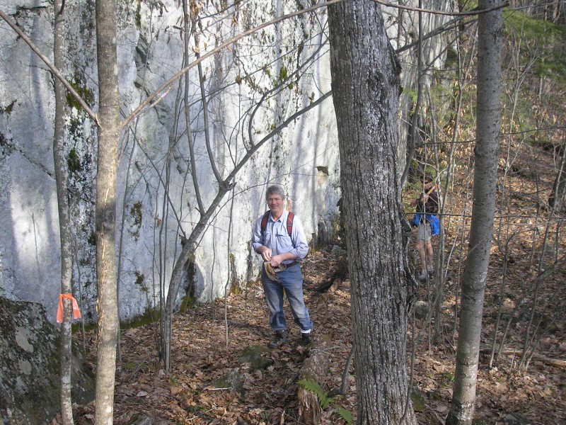
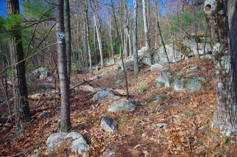
Trailhead on Leaning Rd 150 yards south of Jersey Street (County Road 12). Trail through forest, below a 30-foot cliff, and up a rocky ravine. During hunting season and after logging occurs, the trail is re-routed along edge of field before entering the forest and climbing a series of ledges. The trail splits into the following two trails.
Mountain Route, the right fork, has a moderately steep climb, meets an old woods road and connects to Boquet Mountain Trail. Turn left, walk about 500 yards to the Foothill Route. Turn left and return to trailhead. Or continue on Boquet Mountain Trail to Cook Road.
Foothill Route, the left fork, is relatively level and climbs a little to meet Boquet Mountain Trail. Turn right, walk about 500 yards to the Mountain Route. Turn right and go back to trailhead. In Fall, the leaves on the descent can be slippery. Distance And Terrain
2 mile loop, easy/moderate
Identify And Describe The Management Organization
Champlain Area Trails
Fees
no
ADA Accessible
no
Tours Are Offered
yes
Site is Child-friendly
yes
Site is Pet-friendly
yes
Location
Downloads
Related Sites Or Experiences
NearBy
Chris Maron - Champlain Area Trails
518-962-2287
PO Box 193
6482 Main Street
Westport, NY 12993 US
[email protected]


