

$0.00
Suggested Donation $15
Waterways of War: A traveler’s guide to the French & Indian War forts and battlefields along America’s Byways in New York and Pennsylvania. The super-powers of the 18th century — France and Great Britain — contested for empire and the destiny of North America along a strategic triangle of waterways in today’s New York State. The St. Lawrence and Mohawk rivers provided access to the heart of the continent from the Atlantic Ocean. Northsouth, the Hudson River/Lake George/Lake Champlain waterway linked the principal French trading centers in Montreal and Quebec with British centers in Albany, New York City, and the interior.
European kings sought to control the waterways penetrating the North American continent by controlling the waterways Indians had been using for trade and war for millennia. “” The lakes and rivers are the only outlets, the only open roads in this country,”” observed a senior French officer. By the 1730s, after a generation of intensive construction on the frontiers, a ring of forts protected the water gateways of New France: Louisbourg guarded the mouth of the St. Lawrence on the Atlantic Ocean; Niagara, to the west, controlled access to and from the Great Lakes; St Frederic at Crown Point protected the Lake Champlain portal to the south. As frontier tensions erupted into open warfare in the mid-1750s, old forts were strengthened and new, more distant, outposts nearer the enemy were built along these waterways. This was a World War.
Adapted from Waterways of War Introduction written by Nicholas Westbrook Vice Chair, NYS French & Indian War 250th Anniversary Commemoration Commission and Director Emeritus, Fort Ticonderoga
Out of stock
Related products
-
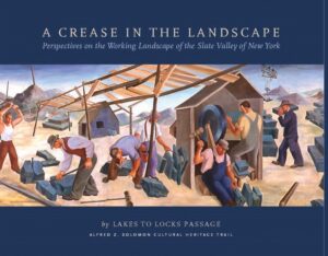
A Crease in the Landscape: Perspectives on the Working Landscape and Slate Valley of Lakes to Locks Passage
$0.00 Read more -
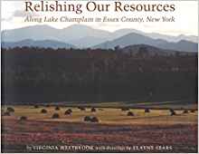
Relishing our Resources: Along Lake Champlain in Essex County, New York
$0.00 Read more -
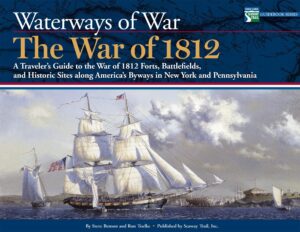
Waterways of War: The War of 1812
$0.00 Read more -
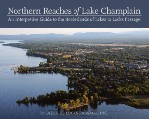
Northern Reaches of Lake Champlain: An Interpretive Guide to the Borderlands of Lakes to Locks Passage
$0.00 Read more
