
Andebit et beaqui corendit, ut quostes esciendion re dit ad et prae parion es quia quas alibus sam, omnim faciden ducipidiat arum autem nobis enis es voat

Building Places
Even when the waterway appeared to be an empty wilderness, native people observed territorial boundaries. Early European treaties reflected the Native American demarcation line at Split Rock, half-way up Lake Champlain. Over the course of four centuries, statesmen carved out nations, states, counties and towns in a shifting kaleidoscope of lines on the land. Ever since the United States and Canada agreed to place the international border at the 49th parallel, this contested region has enjoyed peaceful boundaries.
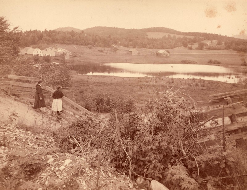
The waterway determined the location of most of the hamlets, villages and cities. Some grew up around fur trading posts, located by travel routes. Others span the waterfalls that provided power for mills and factories. Every town boasts an historic district with fine examples of early architecture built of local stone or timber and embellished with decorative millwork produced in a nearby sash and door works.


