
Andebit et beaqui corendit, ut quostes esciendion re dit ad et prae parion es quia quas alibus sam, omnim faciden ducipidiat arum autem nobis enis es voat

Rouses Point
From the Lakes to Locks Passage Waypoint Community of Rouses Point you can explore the border communities of the Town of Champlain, the Village of Champlain and the Village of Rouses Point.
Bounded by Canada to the north and Lake Champlain to the east, the town of Champlain forms the northeastern corner of county and state. The Chazy River flows through much of town, draining into Kings Bay on Lake Champlain. The communities of Champlain, Perrys Mills, and Cooperville along the Chazy River were early centers of industry and settlement. French and Indian War actions, as well as fighting during the Revolutionary War and War of 1812, occurred at Point au Fer and Stony Point in Kings Bay.
In 1783 the first settlers arrived in Champlain, followed in 1784 by an influx of Canadian and Nova Scotian refugees. In 1788, Pliny Moore, the first English settler of Champlain, began operation of the town’s first sawmill.
During the War of 1812, British troops crossed the border near Champlain in their attempt to capture Plattsburgh. They camped near the Dewey Tavern. After their defeat in the Battle of Plattsburgh, the British troops again camped in Champlain upon their retreat. A burial ground for British troops who died here is located near the tavern.
By the early 1800s, the Port of Rouses Point became the center of commerce with the famous “Fort Blunder” and its successor Fort Montgomery built nearby. After 1935, contractors demolished much of the decommissioned Fort Montgomery to use as fill for the new Rouses Point Bridge.
In 1850 the Northern Railroad connected Ogdensburg and Rouses Point and in 1855 another connection to Montreal was complete. Rouses Point became a railroad hub for trains from Boston and New York City, to points west and north. At one time Rouses Point had five railroad lines. Summer tourism peaked at Rouses Point following the development of the railroad, luxury hotels, and guest houses, in the late 1800s and early 1900s.
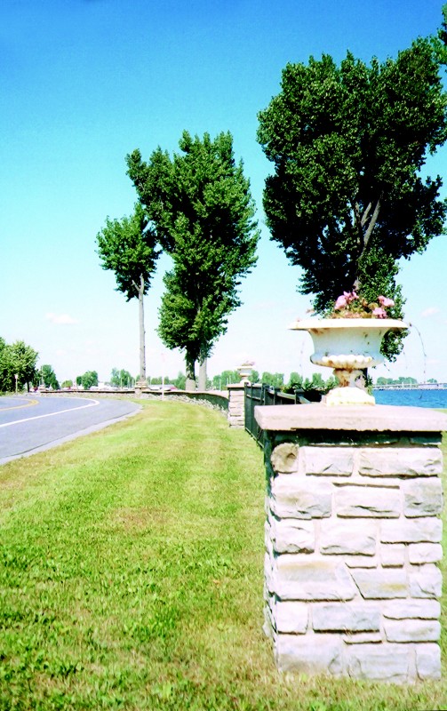
Today the Village of Rouses Point and the Village of Champlain remain centers of commerce and major ports of entry from Canada. Homeland Security and Border Protection have a large presence in the area as well. Visitors find Rouses Point to be the northern gateway to Lake Champlain, a playground for recreation and nature lovers.

Related Sites or Experiences

Village of Rouses Point
518-297-5502
139 Lake Street
P.O. Box 185
Rouses Point, NY 12979 US


