
Andebit et beaqui corendit, ut quostes esciendion re dit ad et prae parion es quia quas alibus sam, omnim faciden ducipidiat arum autem nobis enis es voat

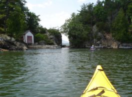
Split Rock

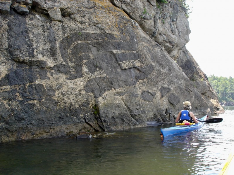
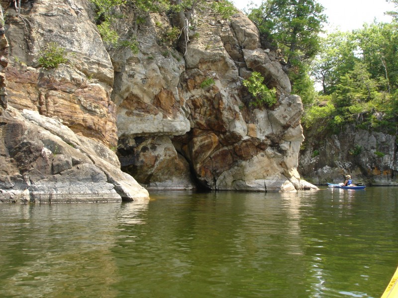
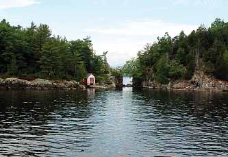
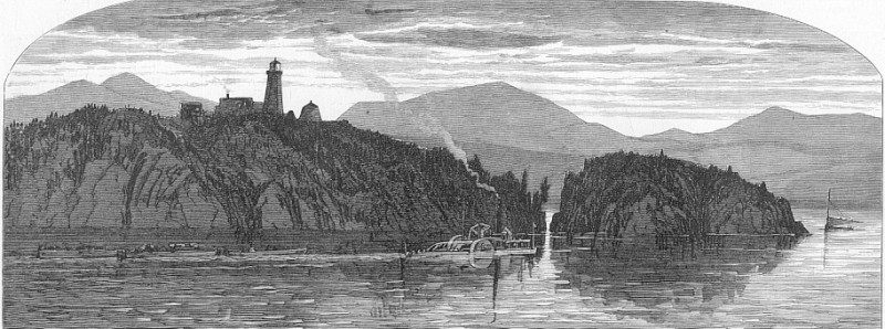
This is a Historic Landing. Split Rock marks the northern end of “The Narrows,” and both Native Americans and early Europeans used this as a boundary marker. This spot also marked the boundary between the Mohawk and Algonquin tribes. The Treaty of Utretch, which ended Queen Anne’s War in 1713, established Split Rock as the boundary line between the French and British claims in the Champlain Valley. This placed the broad lake and all of the islands in French hands. After the Revolutionary War, the area around Split Rock was settled and farmed; the forests also because a profitable site for loggers. While some rock quarries were established on the neighboring mountain to mine granite for local building, it never reached a point of high commercial trade. Many archaeological discoveries, mostly associated with mining in the 19th century, have been made. Recreational Opportunities
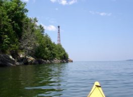
The area offers numerous recreational opportunities, including hiking, camping, mountain biking, rock climbing, fishing, and hunting in the warmer months, and cross country skiing, ice climbing, trapping, and snowmobiling in the winter months.
Nearby Sites or Experiences
Region 5 Headquaters - NYDEC
1115 NYS Rte 86
PO Box 296
Ray Brook, NY 12977 US


