
Andebit et beaqui corendit, ut quostes esciendion re dit ad et prae parion es quia quas alibus sam, omnim faciden ducipidiat arum autem nobis enis es voat

Blueway Trail: Great Chazy River to Point au Roche
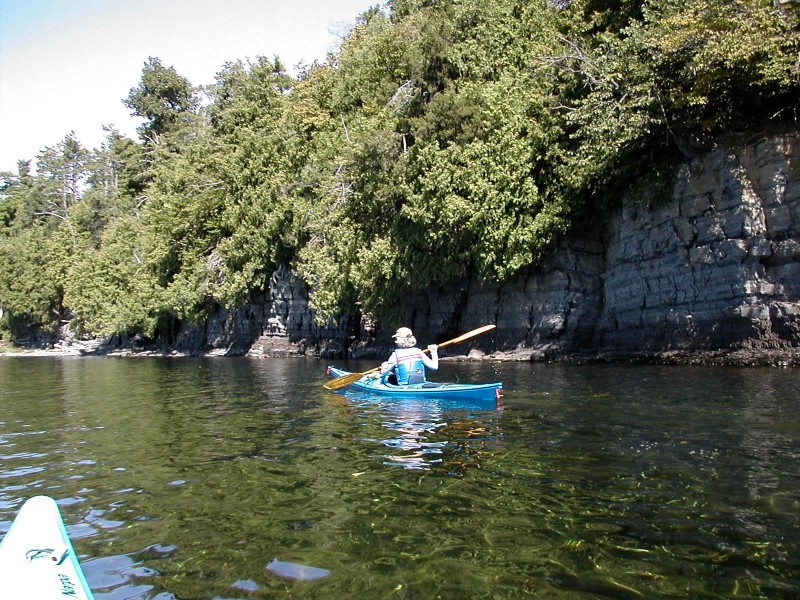
This segment follows a shallow shoreline, much of which is marshy. Paddlers will pass historic Chazy Landing, with many equally historic homes. From this trail, paddlers have access to Montys Bay Wildlife Management Area–great for wildlife viewing, hunting, and fishing.
Launch Sites: Great Chazy River NYS Boat Launch; Point au Roche NYS Boat Launch
Approximate Paddling Distance: 12.2 miles (19.6 kilometers)
Insider Tip from Paddlers Cathy Frank and Margaret Holden: “The Great Chazy River has flat water up to the town of Champlain and is a nice paddle, even on windy days.”
“This trip passes three large marinas, offering a variety of supplies and food. Entering Monty’s Bay, the first along this shore comes into view. Gilbert Brook Marina offers dock slips and moorings. Campsites and a supply store are associated with the marina. Unique to this marina, wave-calming jetties constructed of tires extend out from shore. Mooney Bay Marina sits in a picturesque cove on Point au Roche with a capacity for 240 boats on docks and moorings. A store, restaurant, and other facilities welcome boaters. Just south of the Point au Roche Park, Treadwell Bay Marina and Resort offers full services to boaters at docks and moorings, as well as a restaurant and other resort amenities.”
Other Notes: Both strong north and south winds can create waves, although the shore and neighboring Isle la Motte provide some protection. Limited shore access on this segment.
Activities: 0 hours
Driving: 27 min/14.7 mi
Duration: 1 day
Start at Great Chazy River NYS Boat Launch
Go west on Laventure Dr toward Lake Shore Rd
0.16 mi – 00:00:45
Turn right on Lake Shore Rd (CR-22)
0.19 mi – 00:00:18
Arrive at Great Chazy River, on the right
Depart Great Chazy River
Go back south on Lake Shore Rd (CR-22)
2.07 mi – 00:03:19
Make sharp left on Lapointe Rd
0.40 mi – 00:00:58
Arrive at Long Point, on the right
Depart Long Point
Go back southwest on Lapointe Rd
0.40 mi – 00:00:58
Turn left on Lake Shore Rd (CR-22)
1.80 mi – 00:02:53
Arrive at Chazy and Saxe Landings, on the left
Depart Chazy and Saxe Landings
Continue south on Lake Shore Rd (CR-22)
5.70 mi – 00:09:07
Arrive at Montys Bay Wildlife Management Area, on the left
Depart Montys Bay Wildlife Management Area
Continue south on Lake Shore Rd (CR-22)
2.05 mi – 00:04:48
Turn left on Cemetery Rd
1.78 mi – 00:04:17
Turn left on Dickson Point Rd
0.12 mi – 00:00:16
Finish at Point au Roche NYS Boat Launch, on the right


