Andebit et beaqui corendit, ut quostes esciendion re dit ad et prae parion es quia quas alibus sam, omnim faciden ducipidiat arum autem nobis enis es voat

Blueway Trail: Port Henry and Crown Point
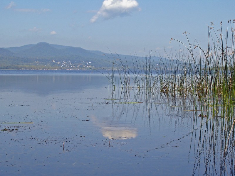
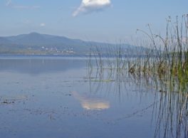
This segment is a loop that leads paddlers along Crown Point, a state historic site that has been the location of two separate forts under different sovereigns. The trail continues into Bulwagga Bay, an ideal spot for wildlife viewing, and then onward to the village of Port Henry, which includes a number of parks, beaches, and campgrounds, along with an informative museum that showcases the town’s rich mining and iron-ore history.
Launch Sites: Crown Point Campground Boat Launch
Paddling Distance: 10 miles (16 kilometers)
Insider Tip from Paddlers Cathy Frank & Margaret Holden: “Paddle deep into Bulwagga Bay to experience good wildlife viewing. Enjoy rolling the name of the bay across your mouth. Along the low, eastern shore of Bulwagga Bay, the flat rock surface just above the water line offers rewarding sights of 450-million-year-old gastropod fossils. Look carefully.”
Other Notes: If a northern wind is present, the north side of Crown Point can have crashing waves against it, making it dangerous for paddlers. The rest of the segment is relatively protected. In the case of a southern wind, the return trip from Port Henry would be best done along the shore.
Activities: 0 hours
Driving: 17 min/9.9 mi
Duration: 1 day
Start at Crown Point Campground
Go south on RT-185 (Crown Point Brg) toward Grandview Dr
0.43 mi – 00:00:54
Turn right on Grandview Dr
0.24 mi – 00:00:34
Arrive at Crown Point State Historic Site, on the left
Depart Crown Point State Historic Site
Go north on Grandview Dr
0.42 mi – 00:01:00
Arrive at Port Henry Drawboat and Trestle Site, on the right
Depart Port Henry Drawboat and Trestle Site
Go back southeast on Grandview Dr
0.66 mi – 00:01:34
Turn right on RT-185 (Bridge Rd)
3.50 mi – 00:04:18
Turn right on RT-9N (RT-22)
0.89 mi – 00:01:10
Turn right on Island Way
0.10 mi – 00:00:14
Arrive at Bulwagga Bay, on the right
Depart Bulwagga Bay
Go back west on Island Way
0.10 mi – 00:00:14
Make sharp right on RT-9N (RT-22)
2.07 mi – 00:03:02
Turn right on Bulwagga Dr
0.21 mi – 00:01:01
Arrive at Bulwagga Bay Beach and Campground, Port Henry (also called Port Henry Campground) and Bulwagga Bay RV Park and Campground, on the left
Depart Bulwagga Bay Beach and Campground, Port Henry (also called Port Henry Campground) and Bulwagga Bay RV Park and Campground
Go back northwest on Bulwagga Dr
0.19 mi – 00:00:44
Turn right on S Main St (RT-22)
0.69 mi – 00:01:36
Arrive at Port Henry, on the left
Depart Port Henry
Go back south on S Main St (RT-22)
0.29 mi – 00:00:40
Bear left on Park Pl
0.11 mi – 00:00:27
Finish at The Iron Center Museum, on the left