
Andebit et beaqui corendit, ut quostes esciendion re dit ad et prae parion es quia quas alibus sam, omnim faciden ducipidiat arum autem nobis enis es voat

Blueway Trail: Port Henry to Westport
It is recommended that this segment be completed south to north. This route begins in the village of Port Henry, and passes a number of historic sites along the shoreline, including a once industrious brook and a small island believed to be one of several locations where a famous Jesuit missionary was tortured while held captive by the Mohawks. The trails ends in the town of Westport, where paddlers have access to two town parks that include a beach and swimming area.
Launch Sites: Port Henry NYS Boat Launch; Westport NYS Boat Launch
Paddling Distance: 12 miles (19.3 Kilometers)
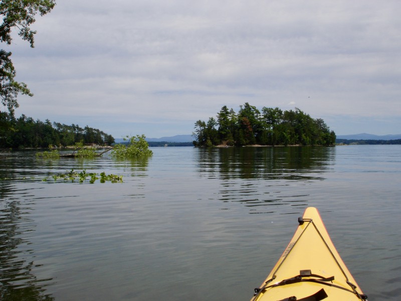
Insider Tip from Paddlers Cathy Frank and Margaret Holden: “Don’t miss the spectacular orange- and rust-colored iron-filled rock along the shore, north of Port Henry. A good place to stop for lunch or a break is Cole Island, a small, forested island owned by the state of New York.”
Other Notes: This route is exposed to strong north and south winds and waves.
Activities: 0 hours
Driving: 21 min/12.9 mi
Duration: 1 day
Start at Port Henry State Boat Launch
Go southeast on Dock Ln
0.05 mi – 00:00:19
Turn right on Beach Rd
0.06 mi – 00:00:36
Arrive at Powerhouse Park, on the right
Depart Powerhouse Park
Go back northeast on Beach Rd
0.06 mi – 00:00:22
Turn left on Dock Ln
0.15 mi – 00:00:50
Continue on Dock St
0.10 mi – 00:00:25
Make sharp right on RT-9N (RT-22)
0.57 mi – 00:01:08
Turn right on Treble Cliff Way
0.05 mi – 00:00:07
Arrive at Craig Harbor, on the right
Depart Craig Harbor
Go back west on Treble Cliff Way
0.05 mi – 00:00:07
Turn right on RT-9N (RT-22)
6.45 mi – 00:07:57
Turn right on Dudley Rd
0.21 mi – 00:00:20
Arrive at Stacy Brook, on the right
Depart Stacy Brook
Continue east on Dudley Rd
0.24 mi – 00:00:23
Arrive at Cole Island, on the right
Depart Cole Island
Continue northeast on Dudley Rd
1.01 mi – 00:01:37
Turn right on Barber Ln
0.58 mi – 00:01:23
Arrive at Barber’s Point Lighthouse, on the right
Depart Barber’s Point Lighthouse
Go back west on Barber Ln
0.58 mi – 00:01:23
Turn right on Dudley Rd
1.02 mi – 00:01:14
Turn right on Main St (RT-22)
1.07 mi – 00:01:55
Turn right on Washington St
0.04 mi – 00:00:05
Arrive at Ballard Park (site of The Westport Inn), Westport, on the right
Depart Ballard Park (site of The Westport Inn), Westport
Continue northeast on Washington St
0.05 mi – 00:00:07
Arrive at Lee Park Trail, on the left
Depart Lee Park Trail
Go west on Washington St
0.19 mi – 00:00:27
Turn right on Main St (RT-22)
0.07 mi – 00:00:08
Bear right on Champlain Ave (RT-22)
0.35 mi – 00:00:48
Finish at Westport State Boat Launch, on the right


