Andebit et beaqui corendit, ut quostes esciendion re dit ad et prae parion es quia quas alibus sam, omnim faciden ducipidiat arum autem nobis enis es voat

Blueway Trail: Valcour and Crab Islands
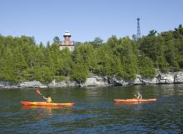
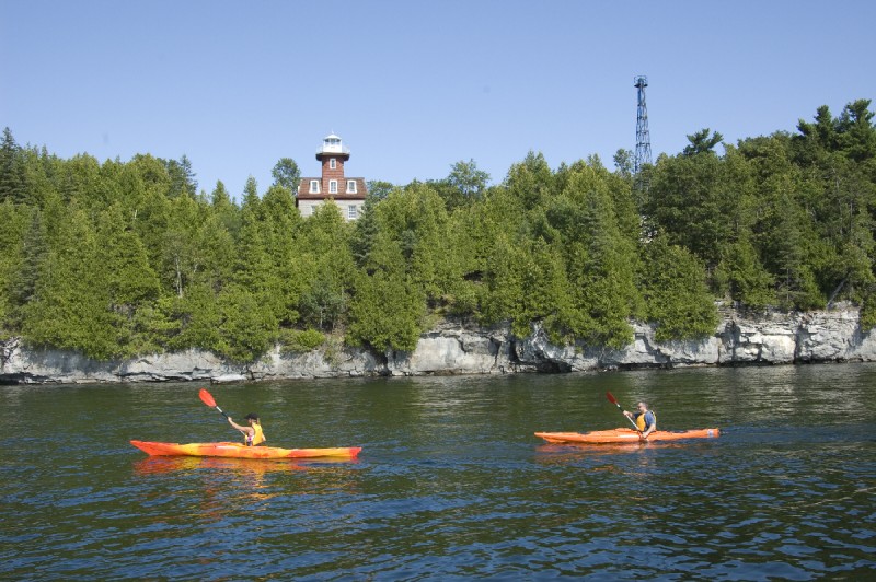 Paddlers enjoying the picturesque shores of Valcour Island. – Courtesy of the Clinton County Historical Association
This route explores one of Lake Champlain’s largest and most historic islands, along with its smaller neighbor (Crab Island). The trail follows the many bays and points along the island shorelines, and paddlers can explore the islands on foot as well. Valcour has a network of trails along with a number of primitive campsites.
For more information, Explore our PassagePort, Lake Champlain Blueway Trail: Valcour & Crab Islands.
Launch Sites: Peru NYS Boat Launch
Approximate Paddling Distance: 13.5 miles (21.7 kilometers)
Insider Tip from Paddlers Cathy Frank & Margaret Holden: “With its rich history and the site of a decisive battle, one could reflect that if the battles fought here had turned out differently, we might be Canadian citizens. Rocky ledges and flat rock areas filled with 460-million-year-old fossils alternate with beaches along the east shore of Valcour. There are lots of spots to stop and swim. The primitive campsites, scattered throughout the island, are on a first-come, first-serve basis.”
Other Notes: This route is exposed to strong north, west, and south winds and waves. Crossing from Valcour Island to Crab Island can be challenging, especially in moderate-to-strong winds. Be cautious of poison ivy on both islands.
Click here for the full trip plan.