This is a Historic Landing. Split Rock marks the northern end of “The Narrows,” and both Native Americans and early Europeans used this as a boundary


This is a Historic Landing. Split Rock marks the northern end of “The Narrows,” and both Native Americans and early Europeans used this as a boundary
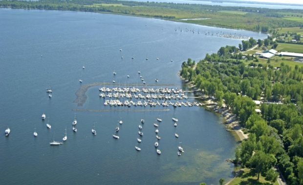
Monty’s Bay Wildlife Management Area is located on the shore of Lake Champlain, bordering both the towns of Chazy and Beekmantown. The park is
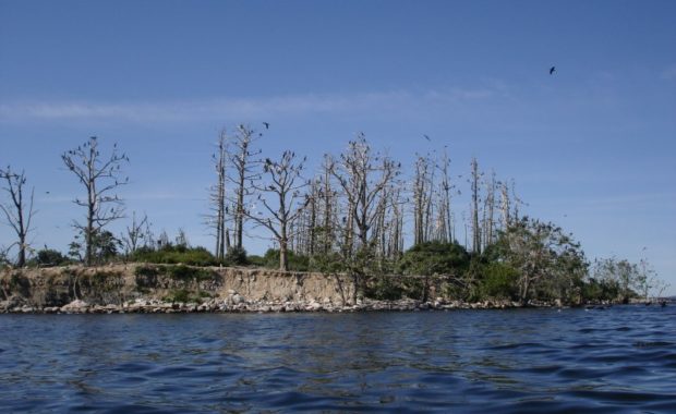
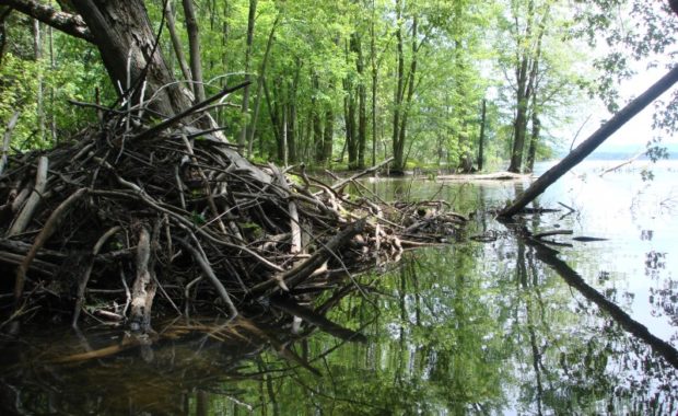
The Four Brother Islands are four islands with a total of 14.2 acres. These islands were once the home to a healthy and diversified bird population,
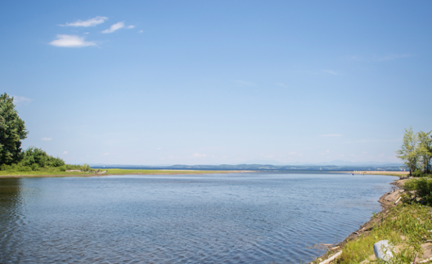
The Boquet River Delta is an area of coarse, shifting sands forming a long narrow beach--one of the relatively rare swimmer's beaches on Lake
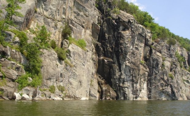
The Palisades of Lake Champlain is a visually striking spot, and for over 125 years, postcards and commercial photographs have captured its beauty. In
The first settlement along this part of the lake, settled around 1770, was located at the first falls of this small brook, called Raymond’s Mills.
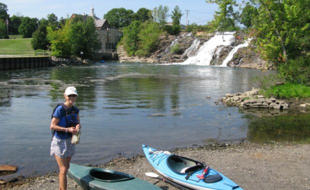
Bicentennial Falls, also known as the Falls of Carillon, is both a natural beauty and a site of immense history. While this river does connect Lake
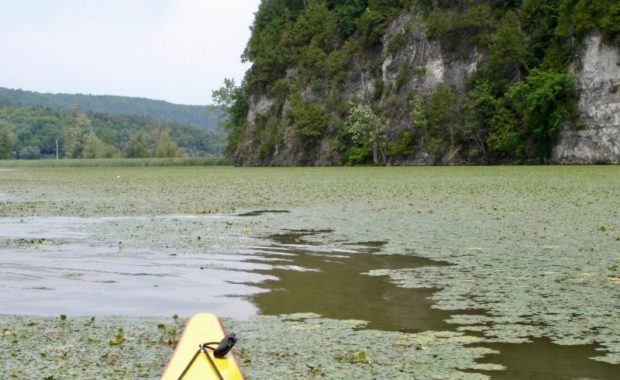
The Narrows of Dresden is a unique point where cliffs jut out into the lake from both the New York and the Vermont sides, forming possibly the
The Boquet River is a short stream, yet an important player in the iron history of the region. Shallow draft vessels called lighters were used to
Andebit et beaqui corendit, ut quostes esciendion re dit ad et prae parion es quia quas alibus sam, omnim faciden ducipidiat arum autem nobis enis es voat